About
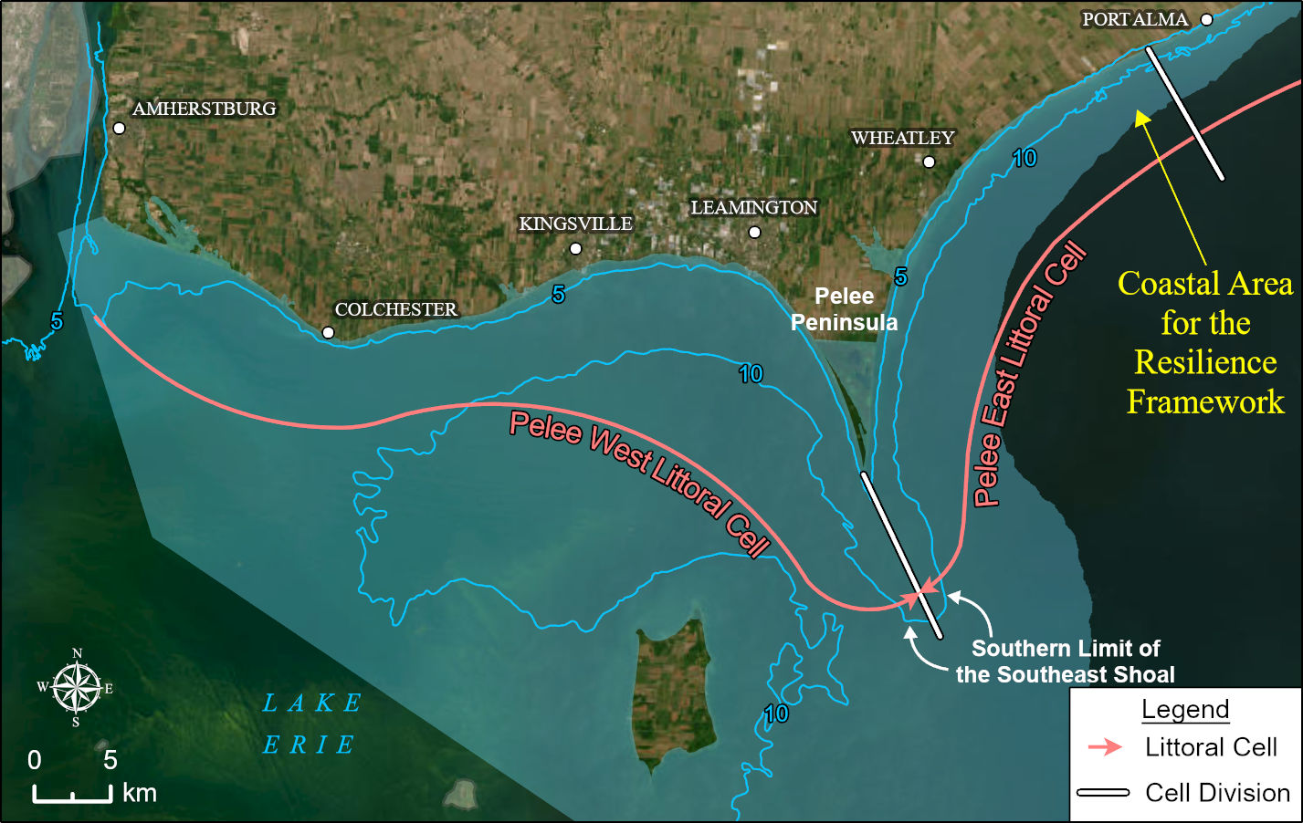
The communities in the Pelee West and Pelee East littoral cells, which stretch from Amherstburg at the mouth of the Detroit River to the Port Alma area of Chatham-Kent have received funding from Natural Resources Canada’s Climate Resilience Coastal Communities Program for coastal resilience planning and action. Funds were also received from the County of Essex, local municipalities and conservation authorities.
Definition: A littoral cell is a sediment compartment (region) along the coast that defines all sediment sources (e.g., bluff erosion and tributaries), transport pathways along the shore, and sinks (e.g., beaches and underwater shoals)”


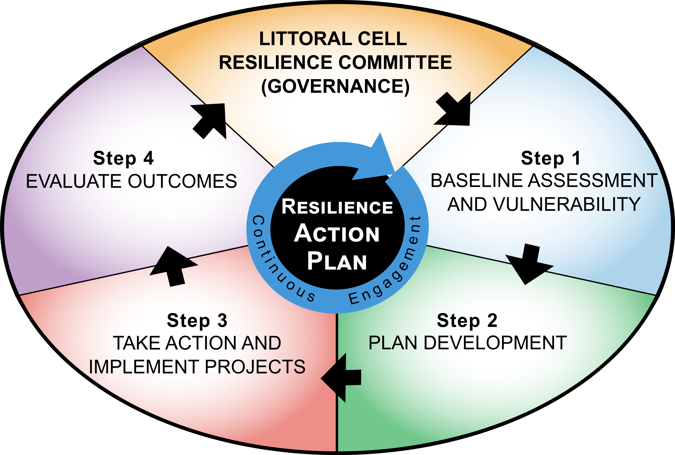
Over the next three years the Pelee Coastal Resilience Committee, which includes representatives from organizations across the project geography, will lead the development of a Coastal Resilience Action Plan in consultation with communities and stakeholders. The Action Plan will follow the four steps in the Resilience Framework, outlined in the adjacent graphic, including: 1) assessment and vulnerability, 2) plan development, 3) implement projects, and 4) evaluate outcomes.
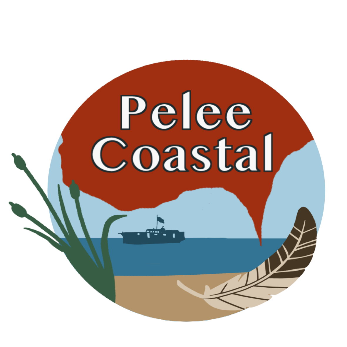
Study Logo
Our logo was developed by First Nation’s artist Naomi Peters. ‘Pelee Coastal’ is the nickname for our project, which stretches from Amherstburg to Port Alma. This geographic area is shaded in red in the top half of the logo. The connected nature of the land, lake, natural environment, and marine economy are highlighted in the lower half of the logo. The feather symbolizes creation and all living things.

